Cape Cod Bay Monitoring Program
C I T I Z E N S C I E N C E
Welcome to the Future of Ecosystem Management
An initiative of the Provincetown Center for Coastal Studies
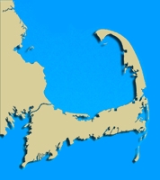
Monitoring Stations:
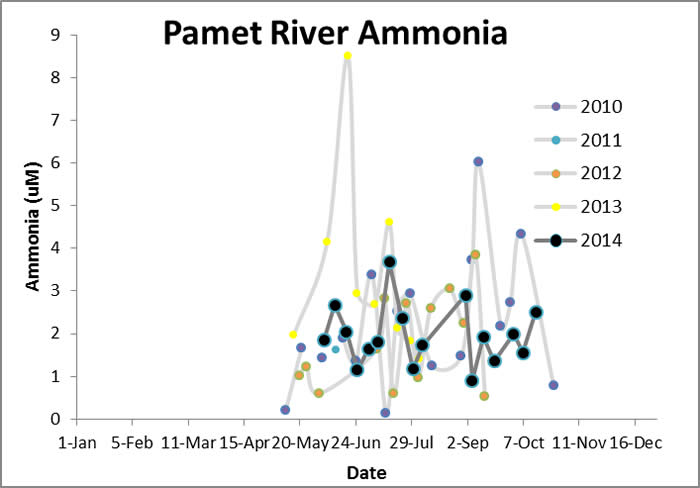
- Provincetown Harbor - Pamet River - Herring River
- Pilgrim Lake/Pilgrim Lake
East
- NorthSunkenMeadow
- Boat Meadow
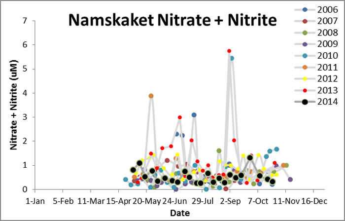
- Cole Road Beach - Little Namskaket - Namskaket
- Upper Namskaket - Paines Creek - Grays Beach - Barnstable Harbor - Scorton Harbor - Upper Scorton Creek - Old Harbor (Sandwich) - Upper Old Harbor Creek - Ellisville Harbor - Plymouth Harbor - Jones River
- Quivet Marsh
- Duck Creek (Wellfleet)
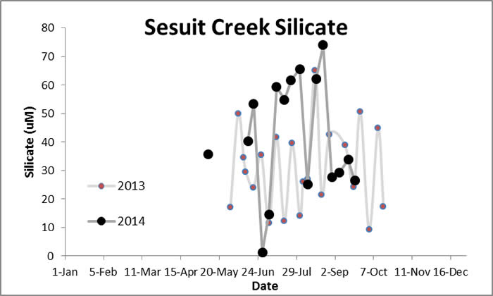
- Sesuit Harbor
- Millway Beach
- References
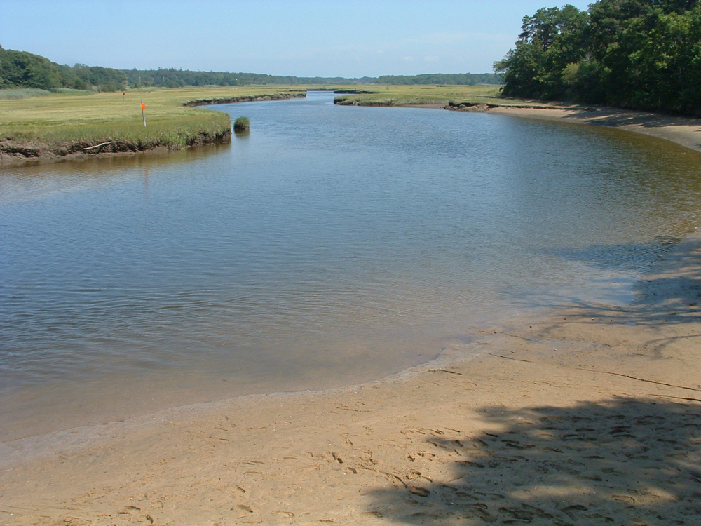
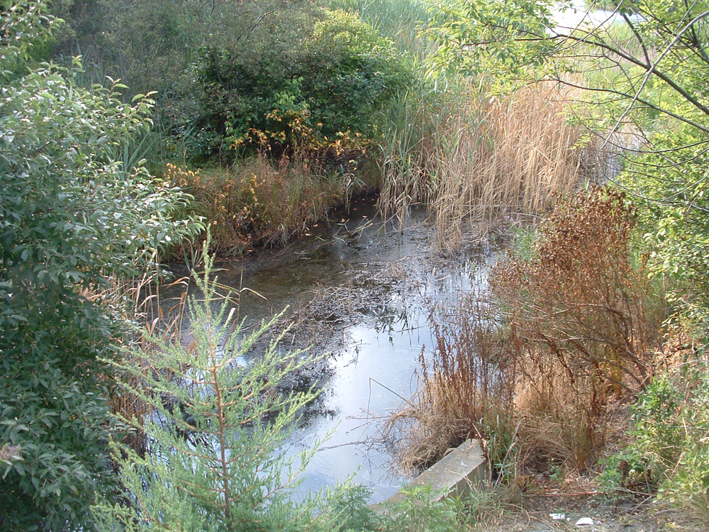
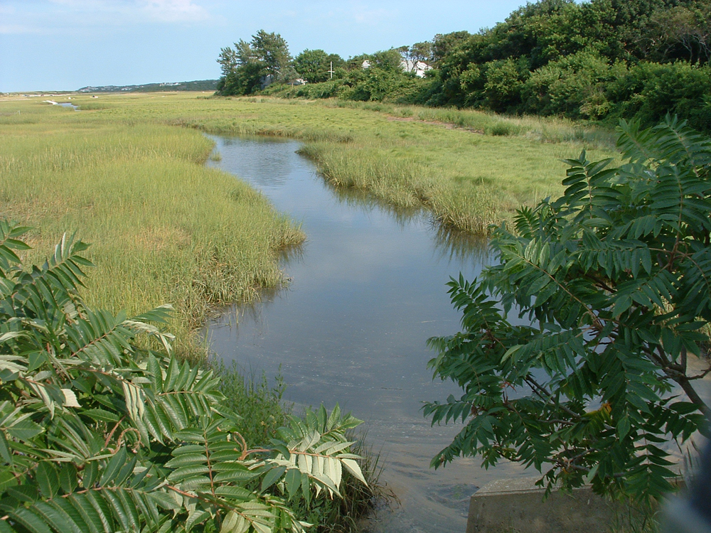
Geographic Location: 42 05.39 | 70 56.22 Current Volunteer MonitorS: ARTHUR NEILL, PAUL DESILETS, MAUREEN DORAN, SUZANNE FLEMING Site Description:
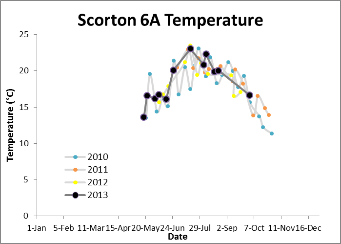
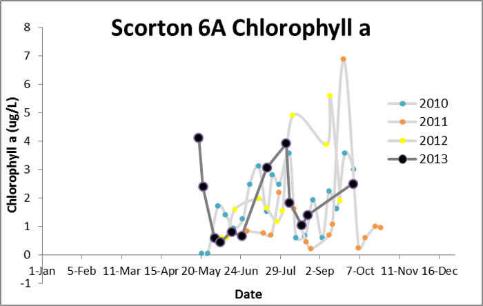
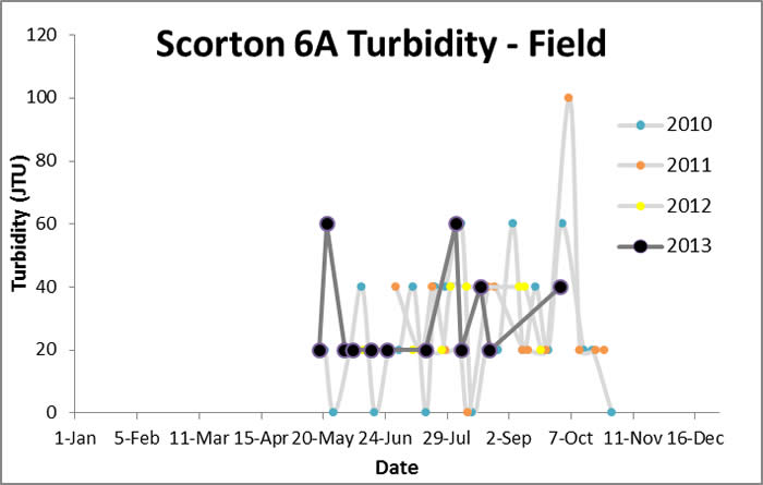
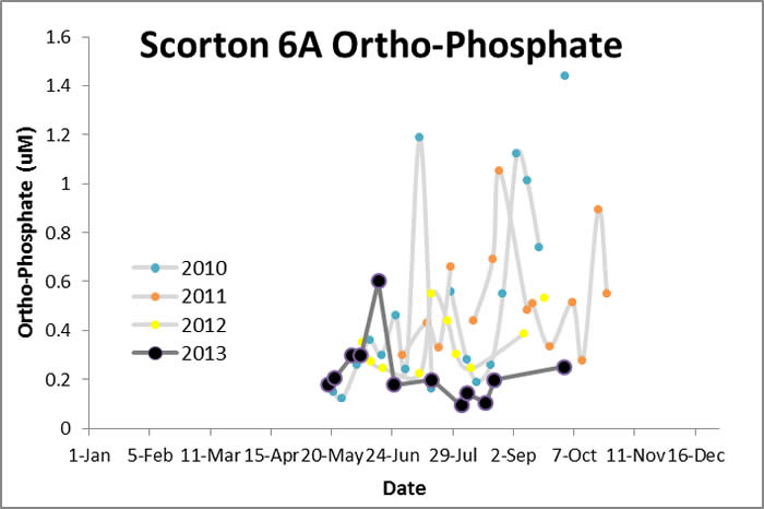
Water Quality Data: Scorton Creek 6A 2010-2013: Scorton Creek 6A
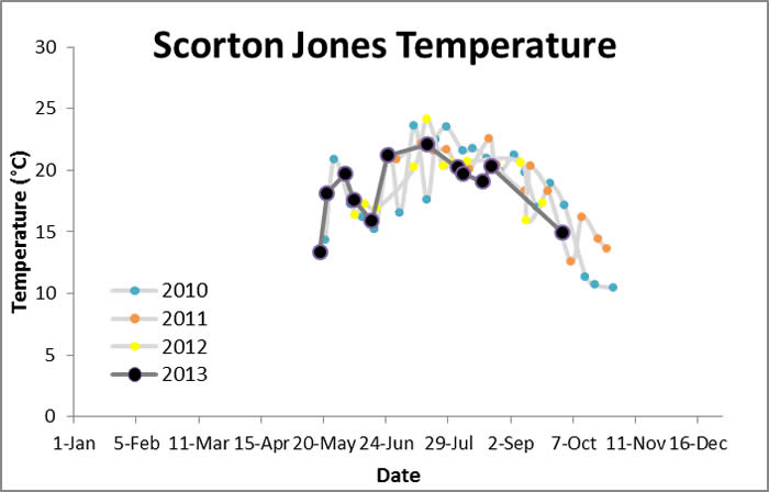
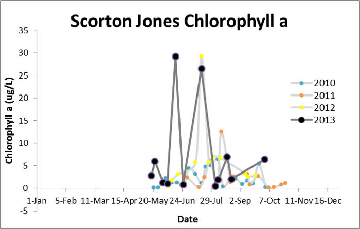
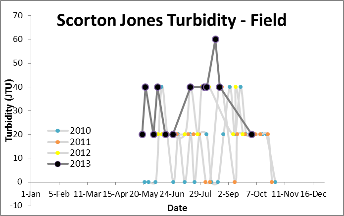
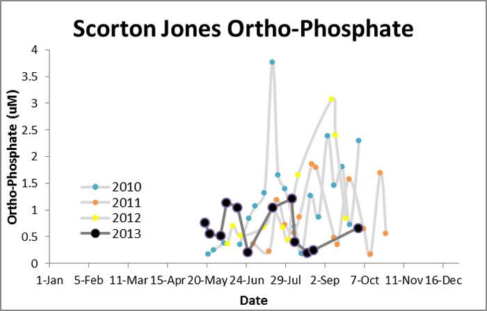
Water Quality Data: Scorton Creek Jones Road 2010-2013: Scorton Jones
Water Quality:
Scorton Creek 6A
Scorton Creek Jones Road
CONTACT