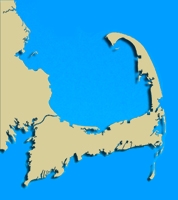
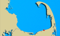
 Geographic Location: 42 05.39 | 70 56.22 Geographic Location: 42 05.39 | 70 56.22
Current Volunteer Monitor: SCOTT and HEATHER GRENON (Paines Creek)
Site Description:
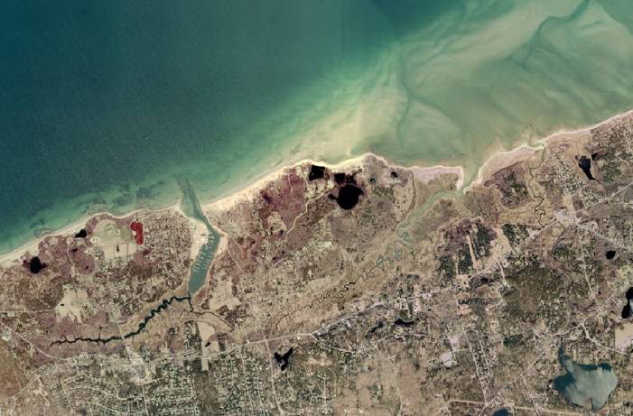
Paines Creek, part of the Stony Brook watershed, empties into Cape Cod Bay in Brewster. Currently, this creek is permanently closed to shellfishing. A project, carried out by the Town of Brewster, is underway that will evaluate municipal storm water drainage and storm water pollutants in the Stony Brook watershed and develop a storm water remediation plan. The Town is attempting to upgrade the status of conditionally approved shellfish growing areas in Paines Creek and maintain open shellfish beds in Brewster. Added benefits of this project include improving species habitat quality and species diversity.
|
|
|
|
Images:
|
|
|
|
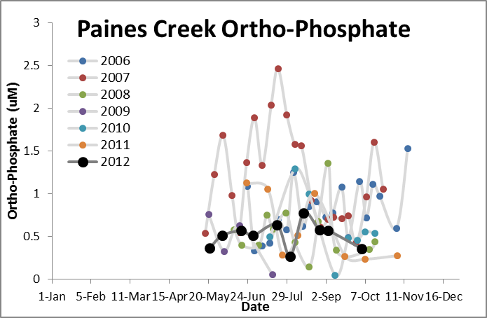
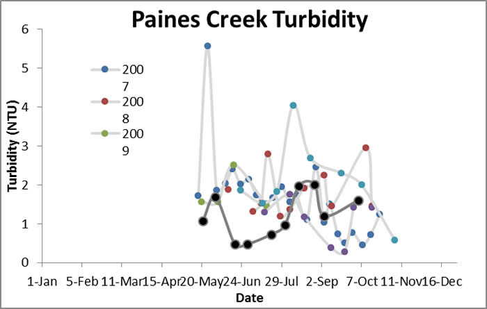
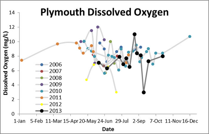
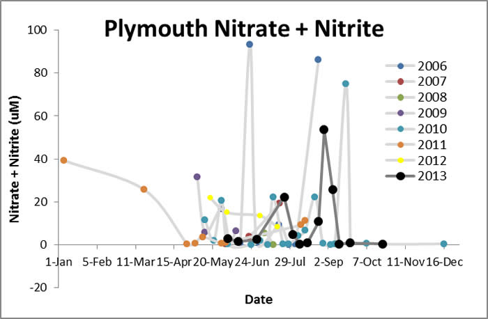
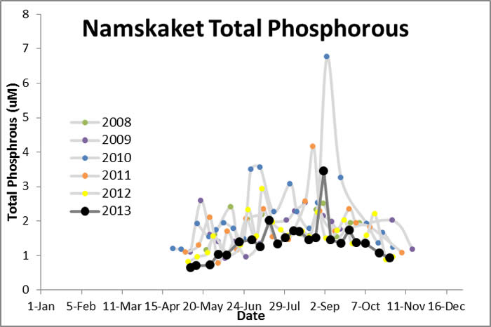
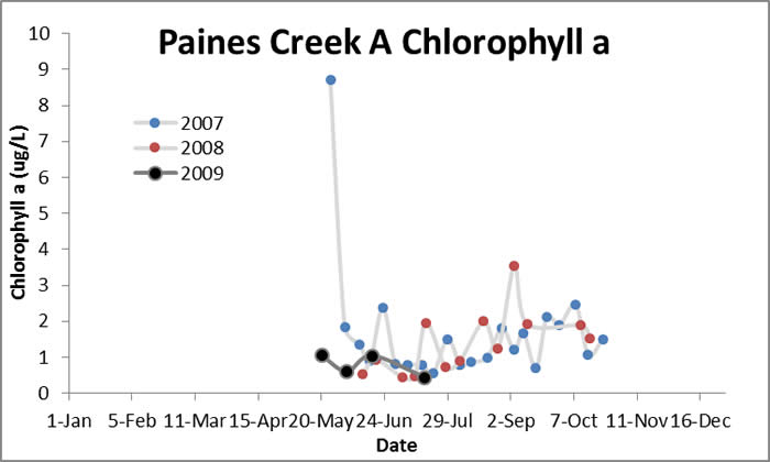
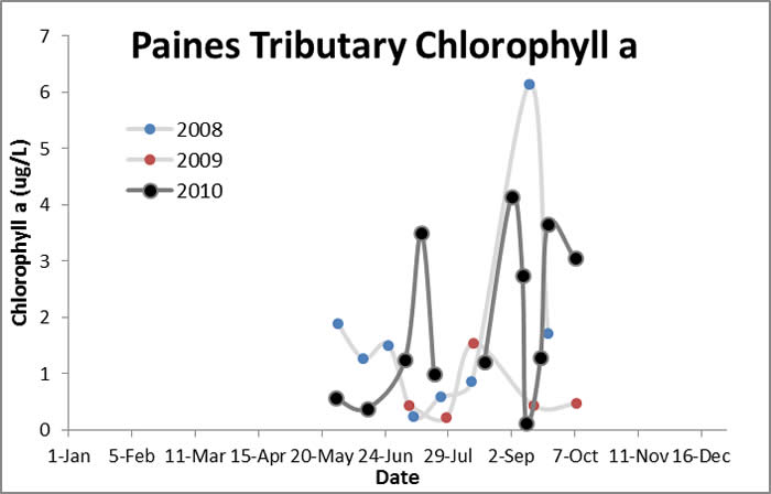
Water Quality Data: Paines Creek 2006-2012/ Paines A 2007-2009/
Paines Tributary 2007-2010: Paines Creek
|
Water Quality:
Paines Creek


Paines A


Paines Tributary


|
|
|
|
|
| |