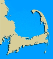
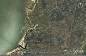
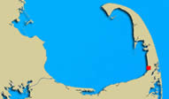
 Geographic Location: 41 48.43 | 69 59.74 Geographic Location: 41 48.43 | 69 59.74
Current Volunteer Monitor: PHIL & BETTY SURACI
Site Description:
This station is located on the Boat Meadow River, part of the Inner Cape Cod Bay ACEC. The Nature Conservancy (www.nature.org) selected Boat Meadow as a preserve for its high ecological value and because it is an important habitat for the northern diamondback turtle. They describe this area as “a classic New England salt marsh alongside a sandy, upland peninsula.” At the head of this river, Cape Cod Bay and Nantucket Sound are only about a half mile apart. When record high tides occur, this half mile can be breached by water. Historically this area is famous because, during one of the times when high tides did breach this area and create a passageway big enough for a boat, it was taken advantage of by Cyprian Southack. Southack, a privateer for the King, was trying to get to the treasures of the pirate ship, Whydah. He was able to strategically run his boat across the Cape at this exact point, saving him the time of circling completely around Race Point in Provincetown (kathyschrock.net/capecodsketchbook).
|
|
|
|
Images:
|
|
|
|
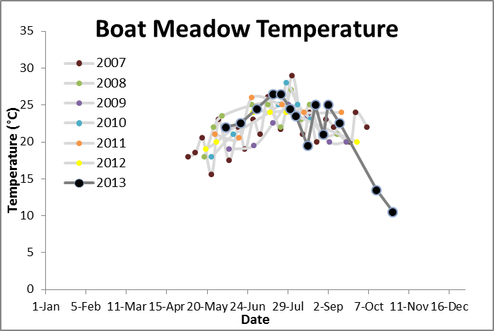
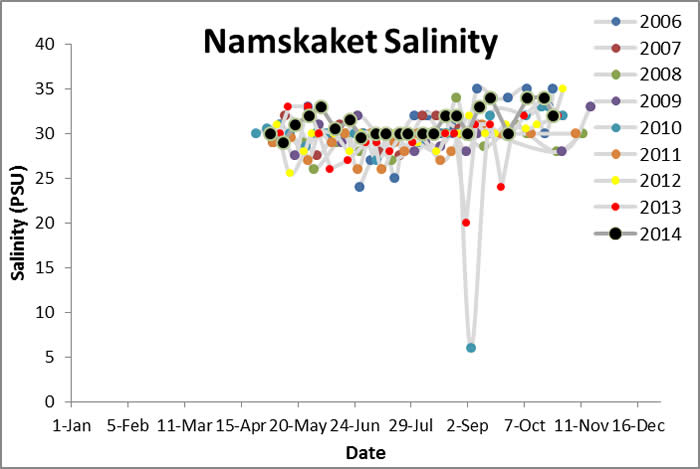
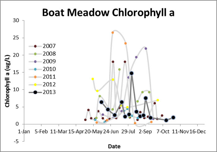
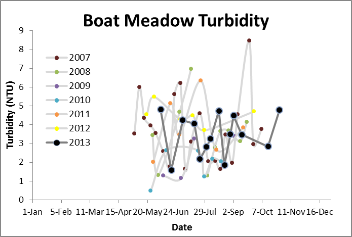
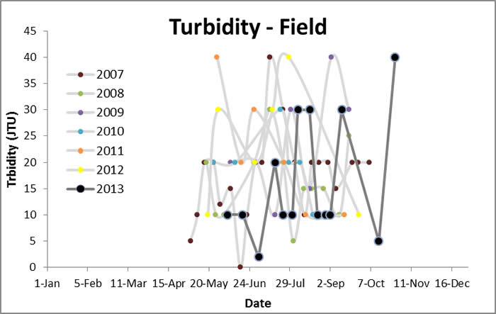
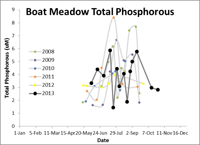
Water Quality Data: Boat Meadow 2007-2013: Boat Meadow
|
Water Quality:




|
|
|
|
|
| |