Cape Cod Bay
Monitoring
Program

   C I T I Z E N   S C I E N C E

Welcome to the Future of Ecosystem Management

An initiative of the Provincetown Center for Coastal Studies


Threats to the Bay
 
Monitoring Stations Map
 
Citizen Scientists
 
Collaborators & Links
 
Input Data


  Monitoring Stations:

  - Provincetown Harbor
  - Pamet River
  - Herring River

  - Pilgrim Lake/Pilgrim Lake

    East

  - North Sunken Meadow

  - Boat Meadow

  - Cole Road Beach
  - Little Namskaket
  - Namskaket

  - Upper Namskaket
  - Paines Creek
  - Grays Beach
  - Barnstable Harbor
  - Scorton Harbor
  - Upper Scorton Creek
  - Old Harbor (Sandwich)
  - Upper Old Harbor Creek
  - Ellisville Harbor
  - Plymouth Harbor
  - Jones River

  - Quivet Marsh

  - Sesuit Harbor

  - Duck Creek (Wellfleet)

  - Millway Beach

 - References


STATION:
SCORTON HARBOR

last updated 04.01.2014


Geographic Location:
  42 05.39  |  70 56.22

Current Volunteer Monitor: DIANA STINSON

Site Description:

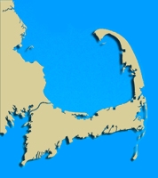
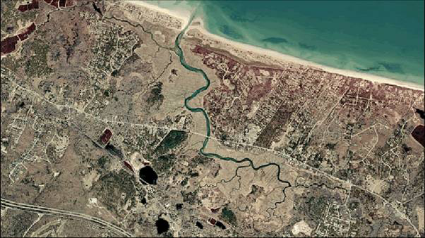
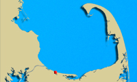
Scorton Harbor, located in Sandwich, is part of a subwatershed covering 6,916 acres. Carver Creek, Long Creek, and Scorton Creek join together to flow into Scorton Harbor, which opens to Cape Cod Bay. Scorton Creek forms the northern border of Game Farm. Although originally used to raise wildfowl and fish for sportsmen, this area is currently being managed by the Massachusetts Division of Fisheries and Wildlife and Thornton W. Burgess Society. Restoration and protection of the salt marsh habitat on Scorton Creek are key concerns for this area.

Images:
Scorton Harbor Scorton Harbor


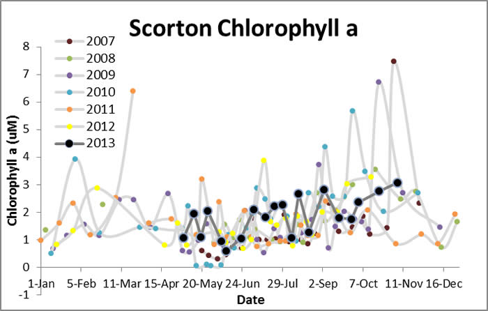
Water Quality Data: Scorton 2006-2013: Scorton


Water Quality:


CONTACT

CITIZEN SCIENTIST HOMEPAGE