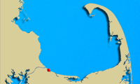
 Geographic Location: 42 05.39 | 70 56.22 Geographic Location: 42 05.39 | 70 56.22
Current Volunteer Monitor: DIANA STINSON
Site Description:
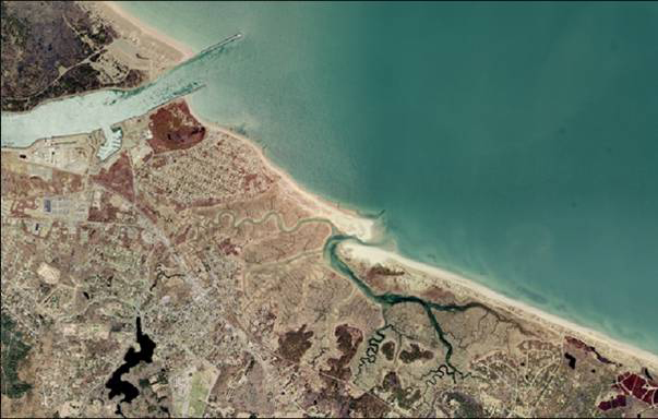
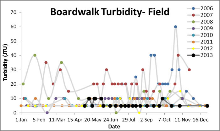
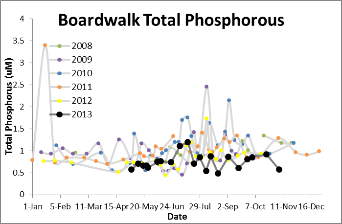
Old Harbor is part of the Sandwich Harbor Subwatershed which has an area of 6,580 acres. Several creeks (Mill Creek, Dock Creek, Ox Pasture Creek, Pine Island Creek and Old Harbor Creek) flow into Old Harbor (Sandwich Harbor), which opens to Cape Cod Bay. Shellfishing in this area is prohibited due to contamination. Previous studies have found excessive nutrients (nitrogen and phosphorous) in the Shawme Pond system that feeds into these creeks. Likely sources include inadequate or poorly maintained septic systems, excessive pet and wildlife waste, and improper lawn management. Water quality data are collected at the Sandwich Boardwalk which fords Mill Creek across Sandwich Harbor.
|
|
|
|
|
Images:
|
|
|
|
Water Quality Data: Old Harbor Boardwalk (Sandwich) 2006-2013: Old Harbor Boardwalk
|
|
Water Quality:


|
|
|
|
|
| |