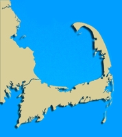
Geographic Location: 42 05.39 | 70 56.22 Geographic Location: 42 05.39 | 70 56.22
Volunteer Monitor: AIMEE TEABY
Site Description:
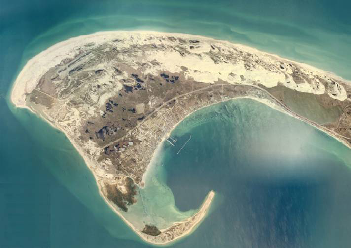
"Provincetown Harbor is a unique asset for the community, the region, and the Commonwealth. Tucked inside a curling spit of sand at the outermost reaches of Cape Cod, the harbor provides a deep natural anchorage and picturesque setting that has attracted settlers, fishermen, tourists and residents for hundreds of years. Like other harbors, it has mirrored a changing economy. Once a major fishing and commercial port, the harbor edge was historically lined with numerous piers and wharves. Commercial Street along the harbor's edge served a vital marine-oriented economy and its related culture. While it still serves a vital role as a marine harbor, the business of the harbor is now largely related to tourism, which is the predominant economic activity for Provincetown and Cape Cod."
- Harbor Plan for the Town of Provincetown
|
|
|
|
Images:
|
|
|
|
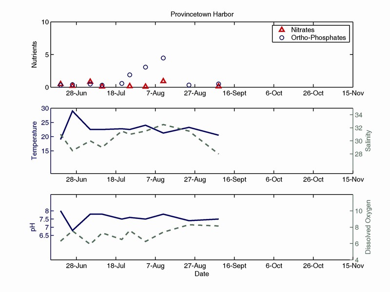
Water Quality:
|
|
|
|
|
| |