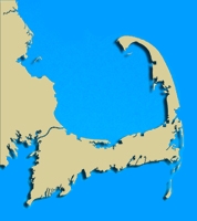
 Geographic Location: 42 05.39 | 70 56.22 Geographic Location: 42 05.39 | 70 56.22
Current Volunteer Monitor: LIZZY PEAKE
Site Description:
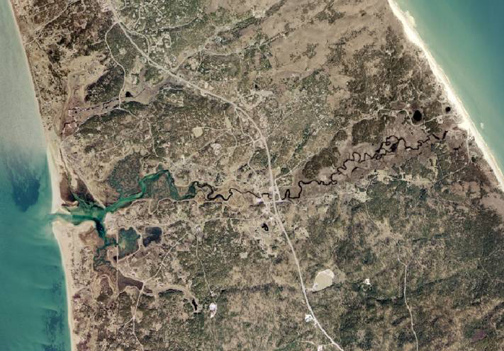
Pamet River begins near the ocean and empties into Cape Cod Bay at Pamet Harbor. The river turns from freshwater to brackish and then salt by the time it reaches the bay. Pamet Harbor was once an important commercial port that served a large fleet of fishing vessels operating in the cod and mackerel industry. Today, despite dredging, the harbor is slowly being shoaled in and is inaccessible to boats over the low tide. Besides dredging, other efforts of altering the Pamet in hopes of restoring the harbor have divided the river into two distinct hydrological sections: the upper Pamet and the lower Pamet. The upper Pamet, the freshwater portion located east of the tide gate, flows slowly west where it enters into the lower Pamet, a salt marsh estuary. Restoration to increase tidal flow has been proposed and would provide many benefits to this system such as improved water quality, habitat diversity and balanced sediment loads.
|
|
|
|
Images:
|
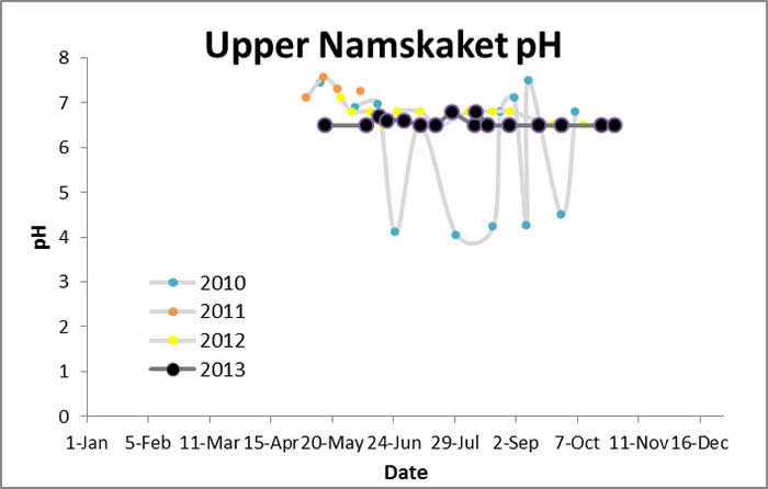
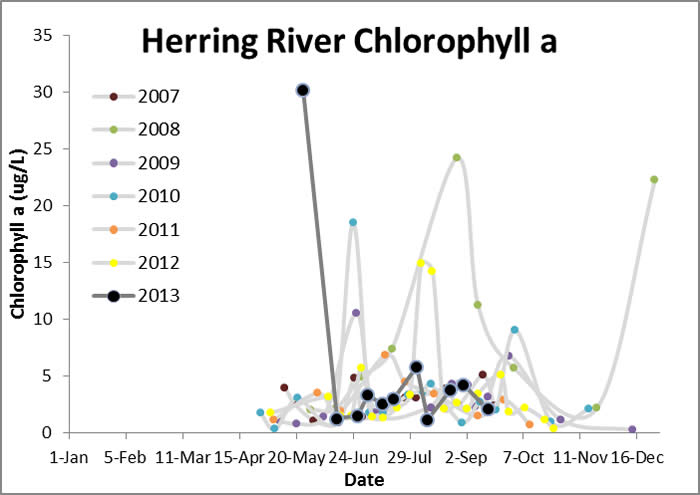
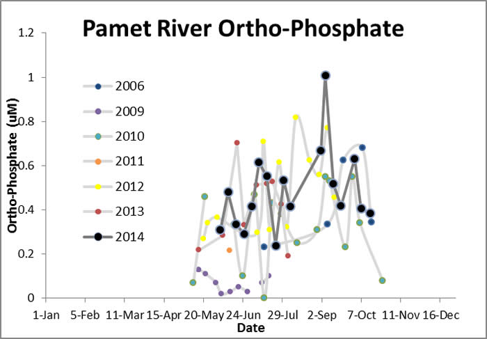
Water Quality Data: Pamet River 2006-2013: Pamet River
|
|
|
|
|
Water Quality:
 |
|
|
|
|
| |