 Geographic Location: 42 05.39 | 70 56.22 Geographic Location: 42 05.39 | 70 56.22
Volunteer Monitor: THERESA BARBO
Site Description:
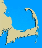
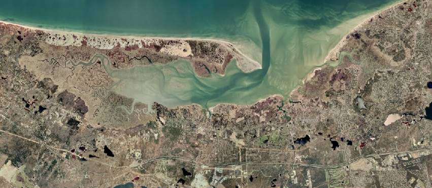
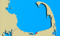
Gray's Beach (Bass Hole) is the only beach on the North side of Yarmouth. It is located within the Barnstable Harbor Subwatershed and adjoins the Callery-Darling Conservation Area (198 acres). This is a popular beach both because of the scenic walk offered by the Bass Hole boardwalk and the free parking. Monitoring of this location will continue year round. Comparing data collected during the off season to data collected during the summer months will help us to document and understand any impacts associated with human use.
|
|
|
|
|
Images:
|
|
|
|
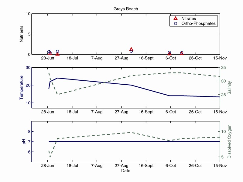
Water Quality:
|
|
|
|
|
| |