
May 21, 2024 | PRESS
On April 4, 2024, a major storm caused flooding in towns throughout the Cape. In Orleans, near the mouth of Muddy Creek, water from Pleasant Bay surged onto Route 28, shutting down the busy thoroughfare. The impact of such events can now be more easily mitigated by...
Feb 29, 2024 | PRESS
Called “the forgotten ecosystem” by the UN Environment Programme, seagrass beds cover 0.2 percent of the ocean floor, yet account for 10 percent of the ocean’s carbon sequestration. As biodiversity hotspots, seagrass beds also account for 25 percent of the world’s...
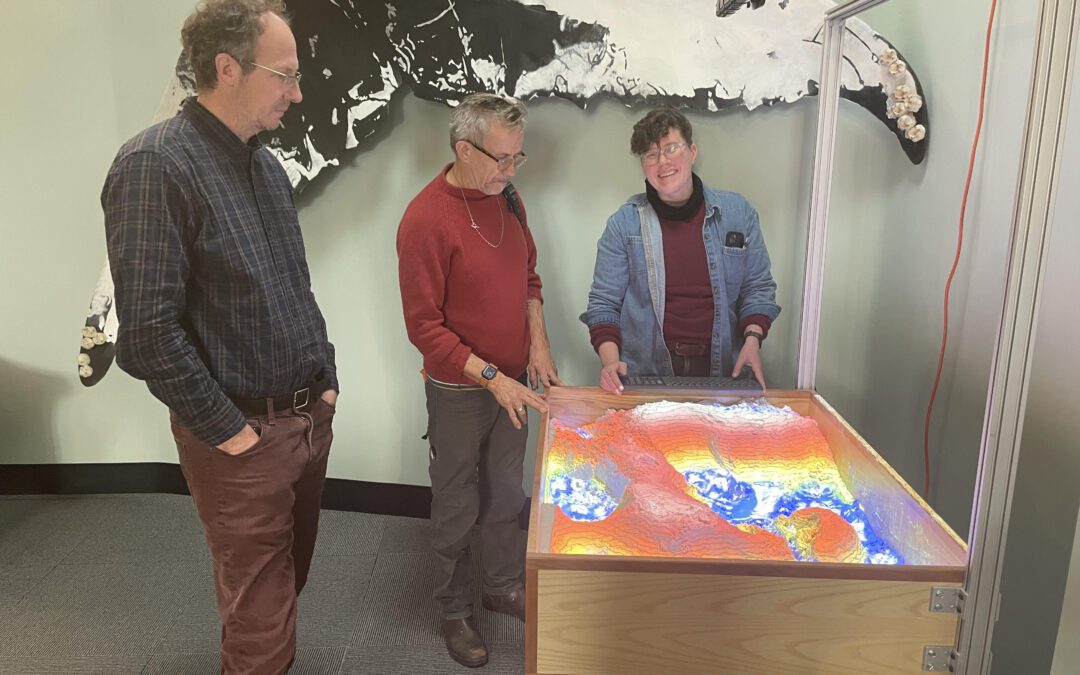
Jan 16, 2024 | PRESS
Students in the Nauset School System will soon have a new opportunity to learn about the world right under their feet. They’ll study Cape Cod’s coastal geology, conduct field research, and analyze their findings in a new program at the Center for Coastal Studies. The...
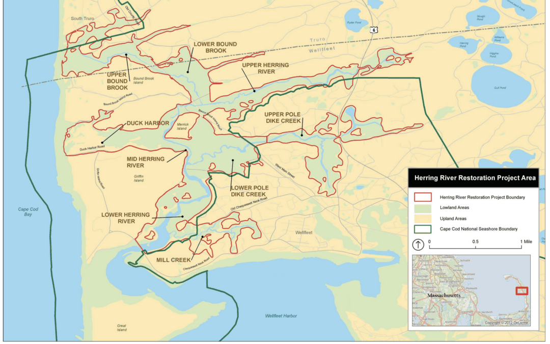
Jan 3, 2024 | PRESS
Geologists from the Center for Coastal Studies will conduct surveys this winter in Wellfleet’s Duck Harbor to gain insights into how best to restore tidal marshes. The upcoming research follows an announcement by the National Park Service that it plans to continue...
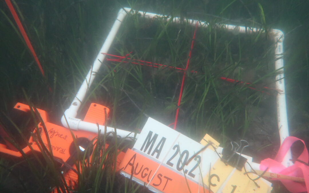
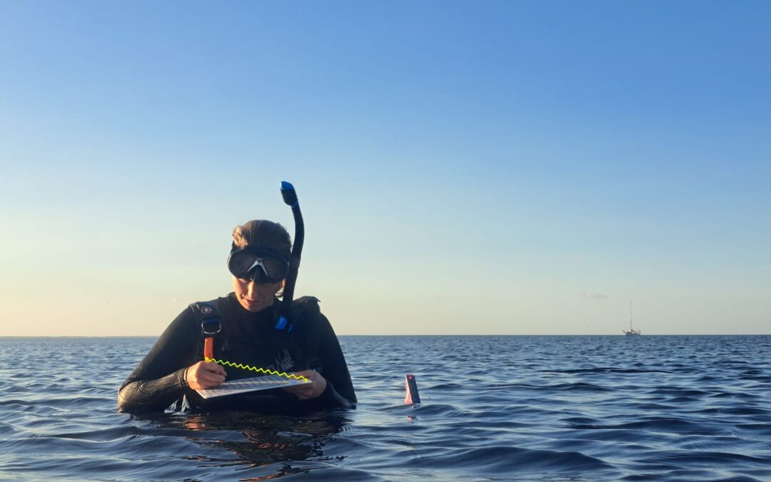
Aug 3, 2023 | PRESS
Eelgrass (Zostera marina) plays an important role in healthy marine ecosystems, but eelgrass beds are shrinking throughout the Commonwealth, particularly on Cape Cod. Center for Coastal Studies marine ecologist Agnes Mittermayr, Ph.D., is leading efforts to...