Coastal Geographic Research and Applied Sciences Program
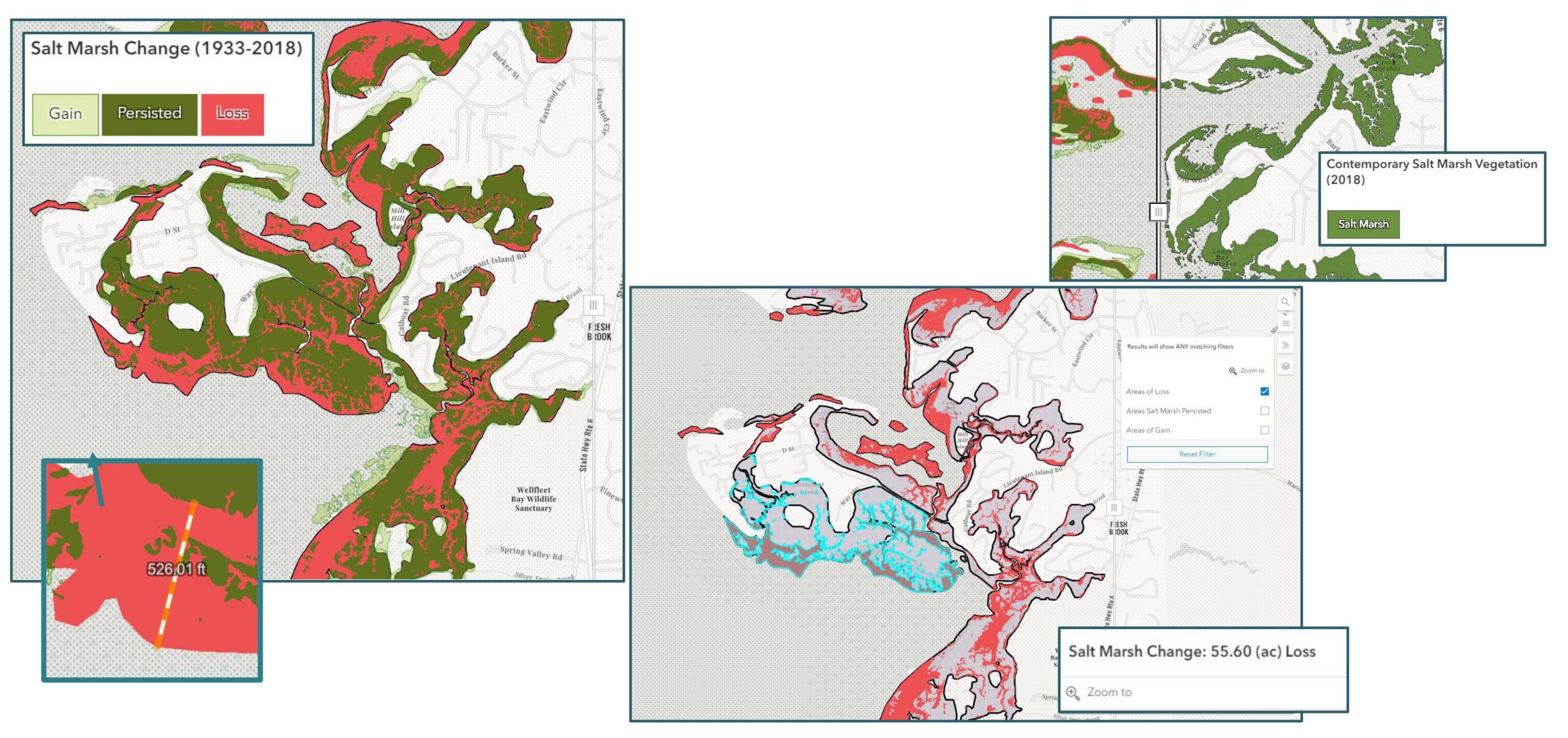
The Coastal Geographic Research and Applied Sciences Program is focused on helping the region better understand scientific data that can be applied to the challenges and threats facing coastal communities. Often scientific work is not easily understood by municipalities or other coastal resource management entities. Through spatial analysis and data visualization techniques the Applied Sciences program presents data in new and creative ways that aid in interpretation and application of these data at the local level. The program develops and shares unbiased and science-based coastal geographic information that can be relied upon by local municipalities, managers, and the public.
To facilitate open collaboration between local town partnerships, other organizations and the public, an online resource has been developed for the Outer Cape focused on proactive planning and shoreline management. Use our public data portal to explore and download regional shoreline management data, discover geo-applications, and engage in our collaborative effort to better understand and manage our shared shoreline.
A variety of interactive maps related to emergency preparedness, sediment management, shoreline change, and coastal resources can be accessed through the data portal. Additionally, users can use our data to create their own maps to share online or print.
Current Projects
Currently, we are working on two shoreline management projects on the Cape that focus on increasing coastal resiliency by facilitating and promoting consistent and uniform management techniques across multiple municipal boundaries. Many areas on the Cape are experiencing frequent and severe impacts from coastal storms and flooding from nuisance tides, climate change and sea level rise. Implementing regional approaches to shoreline management and working together along an interconnected shoreline is mutually beneficial and can help maximize each towns ability to work with the natural processes driving coastal change.
In 2019, regional shoreline management work began with the towns of Provincetown, Truro, Wellfleet and Eastham. In 2022, our reach expanded, regional shoreline management work began with the towns of Orleans, Brewster and Dennis.


