A new regional shoreline management tool and public online resource is now available to help Cape towns address shared coastal issues.
In June, the Applied Sciences Program at the Center for Coastal Studies, working with the towns of Eastham, Wellfleet, Truro, and Provincetown, concluded a five-year, multi-phase coastal resilience project designed to support coastal resource managers in proactive planning and decision-making. Map That Cape Cod, one component of this project, is an online data portal with a repository of interactive maps and spatial applications focused on sediment management, coastal resources, emergency preparedness and the regulatory considerations for shoreline projects.
Developing the Coastal Shoreline Management Tool
Phase One
SJ McFarland and Steve Mague, assistant director and director of the Coastal Geographic Research and Applied Sciences Program, began work on the project in 2019. In Phase One, McFarland, a coastal geospatial specialist, started gathering baseline data to characterize the region’s Cape Cod Bay shoreline. During this phase, a Memorandum of Agreement was established between the four towns to work together to promote responsible stewardship of their shared shoreline.
Working together is key, explained McFarland and Mague, because the drivers of coastal change do not follow municipal boundaries. By removing these boundaries, the towns are pursuing a more comprehensive approach for confronting local challenges related to sea level rise and climate change along their shared shoreline. That approach uses resource-based solutions to achieve a greater degree of shoreline resiliency than could be achieved individually.
“The shoreline is connected and what’s happening along one town’s shoreline can impact other towns,” said Mague.

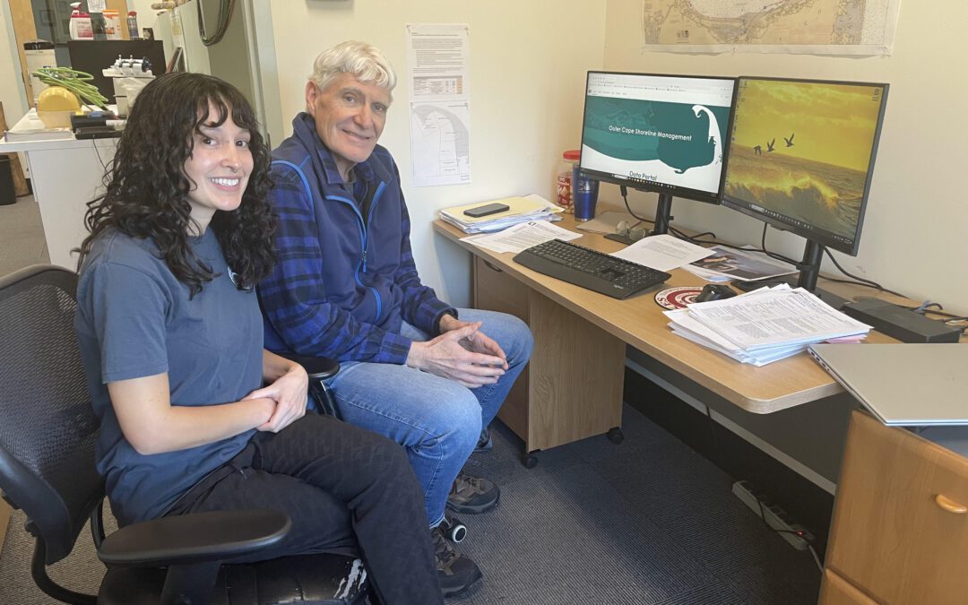
“Map That Cape Cod” Home Page
Phase Two
In Phase Two, from 2020 to 2022, McFarland and Mague developed new regional, science-based, geospatial data, including historical salt marsh delineations developed from 1930’s topographic surveys and contemporary salt marsh delineations based on photointerpretation and image classification of high resolution aerial imagery. Another major component of this Phase was the development of a Regional Management Framework consisting of uniform policies and principles that reflect the common shoreline.
Phase Three (Final)
The final phase of the project, Phase Three, began in 2022 and resulted in the creation of the new regional shoreline management tool, which went live on Jan. 15, 2024.
“Along the dynamic coast, hard-copy plans can become out of date quickly. The beauty of an online resource, the centerpiece of this work, is that it can be updated easily to reflect contemporary science, ensuring that the towns are sharing the same up-to-date versions of evolving datasets,” said Mague.
Tool Goals
The data portal was developed with three primary goals in mind.
- Support coastal managers in proactive planning.
- Foster continued open collaboration between the town partnership, other organizations, and the public.
- Increase public awareness of the natural processes affecting shoreline conditions in an engaging manner.
“Throughout the course of this multi-phase project it became evident to the project team that there was a real need for data visualization tools that could aid in the interpretation of coastal and shoreline data and that realization gave us the idea for the public data portal”, explained McFarland. By presenting information in a visual format, “you don’t have to be a scientist to understand the data.”
Launch and Use to Date
Since launching in January, the portal has had more than 3,000 visitors and the different datasets, documents, interactive maps and spatial applications hosted on the portal have been accessed or downloaded over 19,000 times. To maintain the portal going forward, the Center is now entering into an agreement with the four Outer Cape towns.
Future Collaborations
With the success of the project on the Outer Cape, the towns of Brewster, Dennis, and Orleans are working with the Center for Coastal Studies and have applied for a similar Office of Coastal Zone Management grant to pursue the development of a data portal and public engagement tool for the southeastern shoreline of Cape Cod Bay.
Related Topics
Coastal Geographic Research and Applied Sciences Program
CCS Martha’s Vineyard Coastal Resiliency Project Identifies Places Where Flooding Will Occur