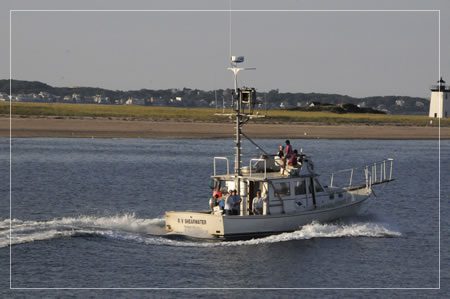
2011 Tracks
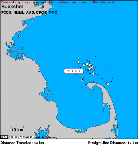
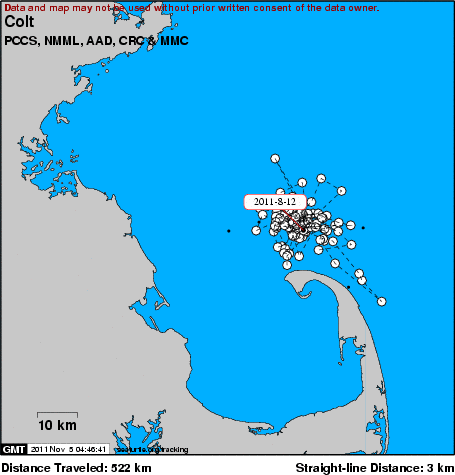
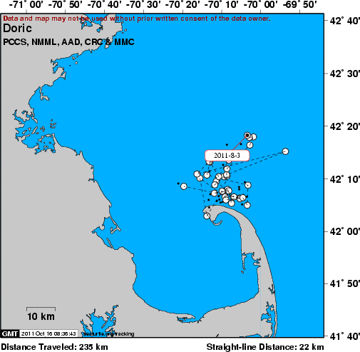
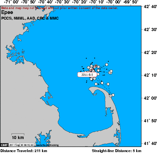
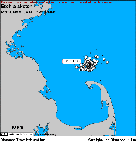
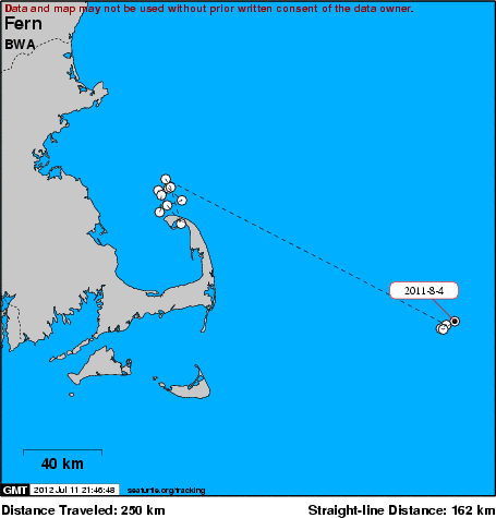
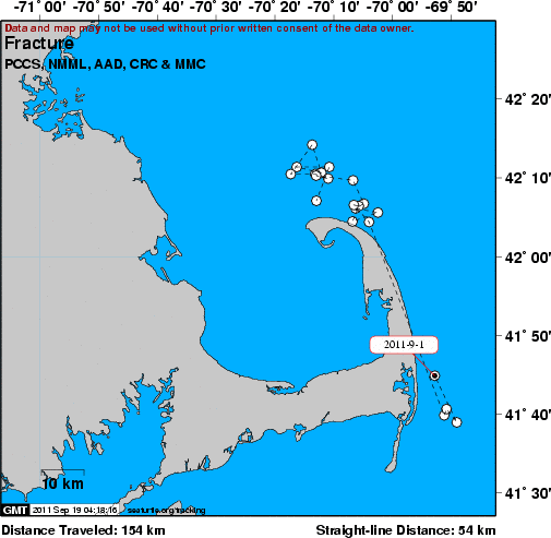
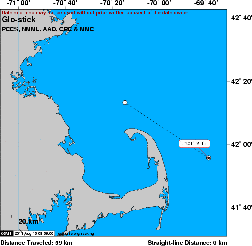
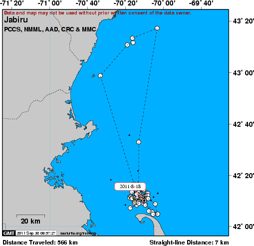
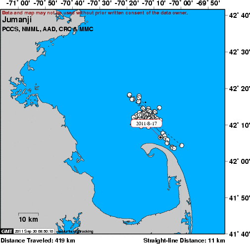
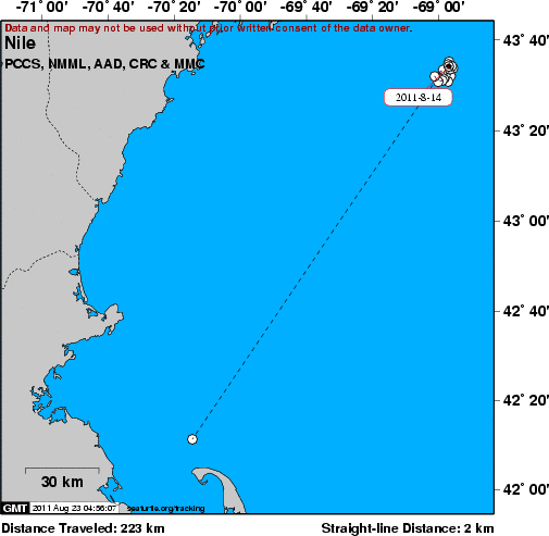
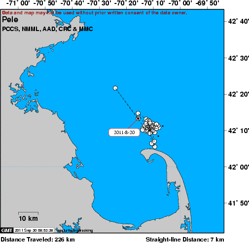
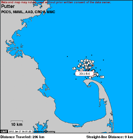
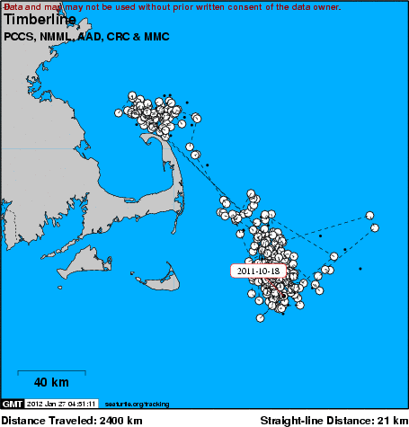
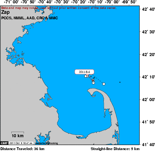
Tracks of satellite tagged whales are shown below. Use the links below, or scroll through the maps to view individual movements. The name of the whale is shown in upper left of each map. An overview of this research project can be found here.
Positions were reported on a lagged basis and not all fixes are mapped. Please observe our terms of use.
Terms of use:
These data belong to the Provincetown Center for Coastal Studies (PCCS), the National Marine Mammal Laboratory (NMML), the Australian Antarctic Division (AAD) and the Marine Mammal Center (MMC). The presentation of data here does not constitute publication. All data remain copyright of the project partners. Maps or data on this website may not be used or referenced without the explicit written consent of the data owners. Data archiving and visualization courtesy of seaturtle.org.
Our Work
Humpback Whale Research
Right Whale Research
Marine Animal Entanglement Response
Marine Geology Department
Water Quality Monitoring Program
Marine Fisheries Research
Seal Research
Shark Research
Marine Education
Interdisciplinary
Marine Debris and Plastics Program
Marine Policy Initiative
Cape Cod Climate Change Collaborative
Publications

